2015, Guided tours on location, 45’
Impossible Futures Festival, Vooruit & CAMPO
In collaboration with Ruben D’hont, Peter Geysemans, Marlies Jacques
and residents/schoolchildren of Malem
Supported by KASK School of Arts and
Research Fund University College Ghent
On location at Heldenplein 1, Malem island, Ghent
14.03. – 21.03.2015
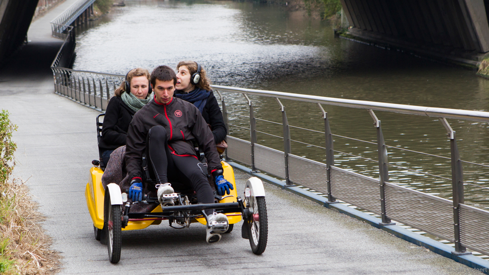
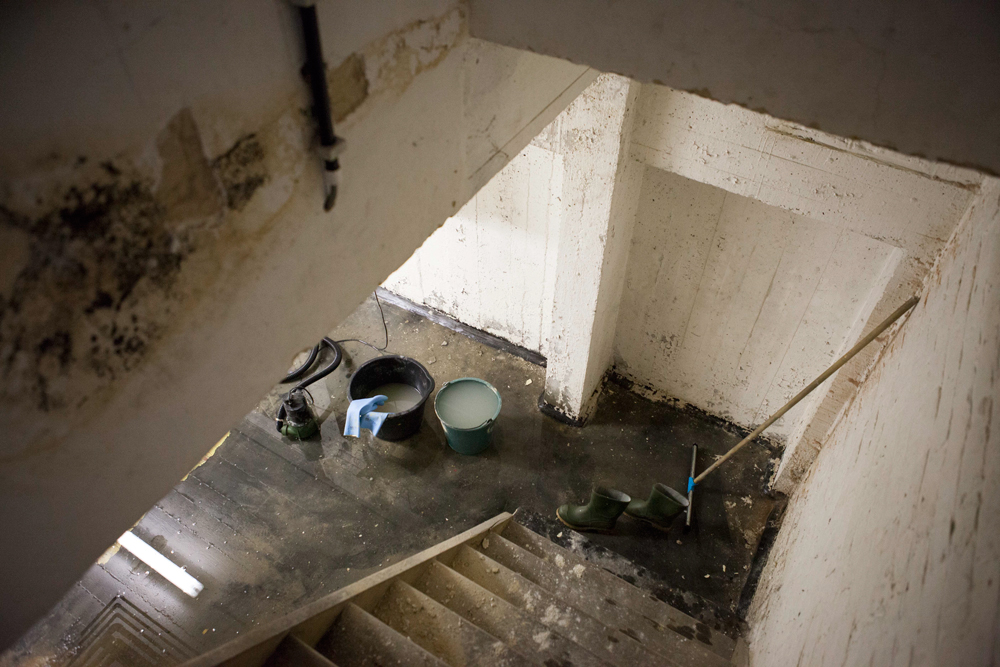
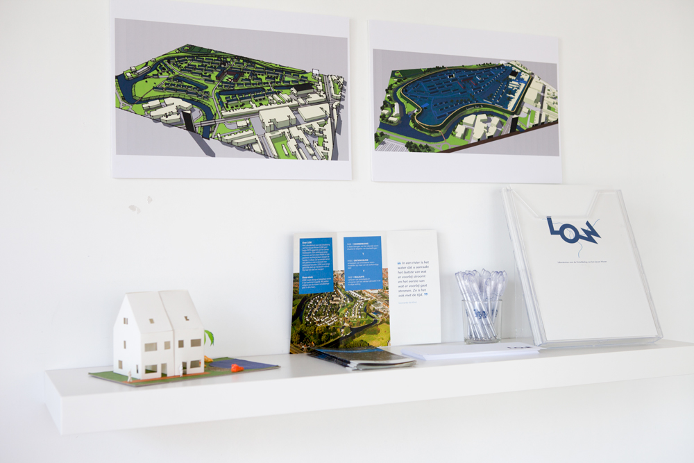
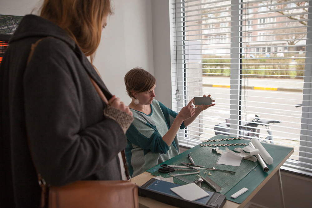
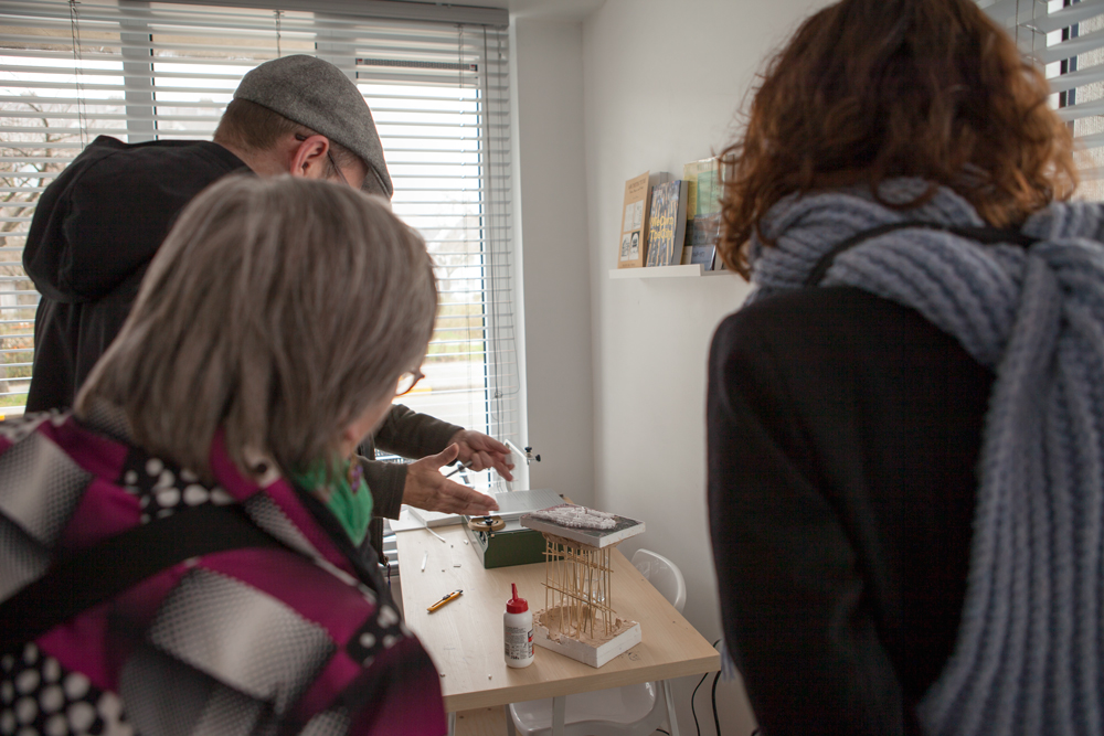
Plan Malem (Topography of the Island State) is a series of guided tours to the workshop of ‘LOW, Laboratorium voor de Ontwikkeling van het nieuwe Wonen’ (Laboratory for the Development of new Housing). LOW was presented a young start-up of local residents and architects. From their design studio on the Malem island in Ghent they develop innovative models for a waterproof neighbourhood.
The project mixes real threats for the Malem island with a fictional worst case scenario:
What if the water level rises and the island completely subsided? How can we still live here?
 © Jan Lietaert & LOW
Local press articles:
Text by Evelyne Coussens in De Morgen:
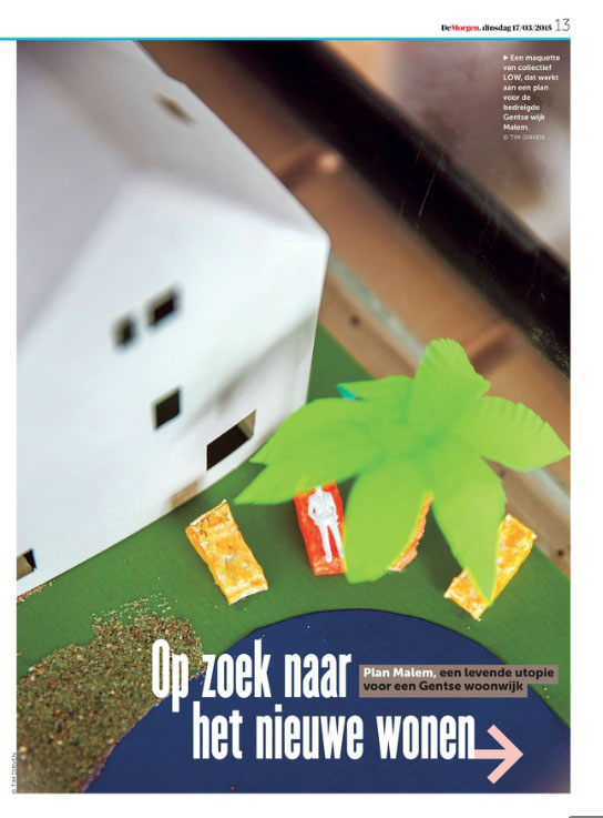
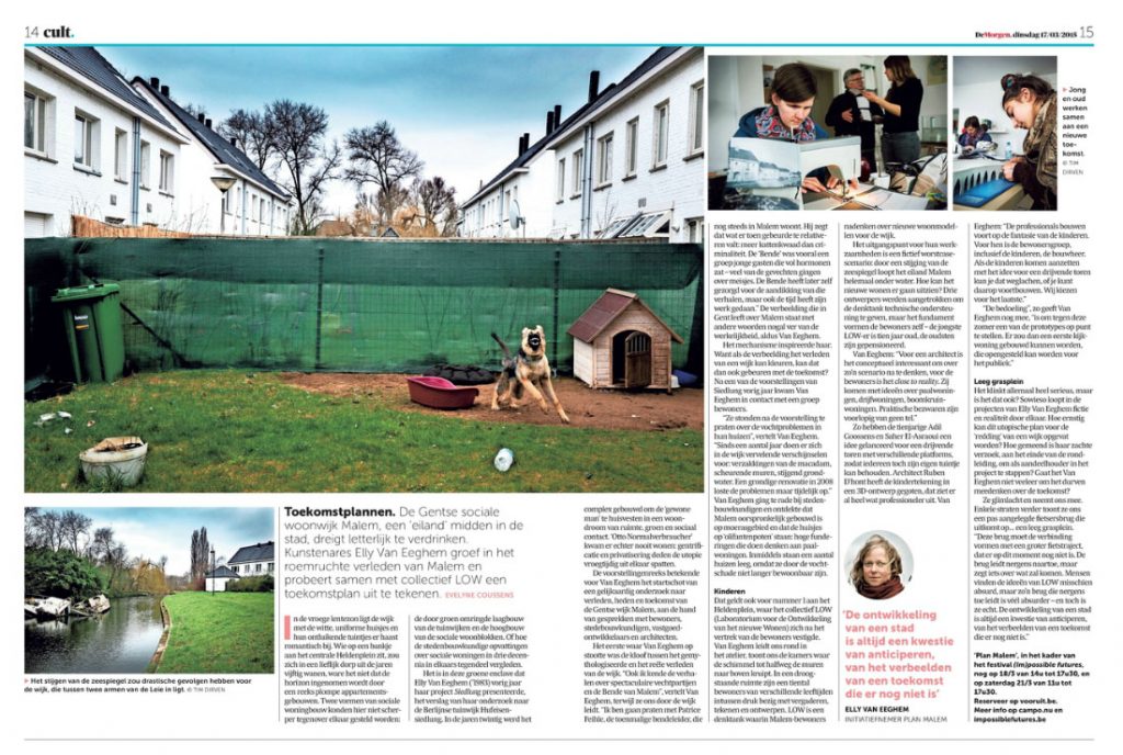
Read the text here: dm-150317-op-zoek-naar-het-nieuwe-wonen.pdf
Article by Sarah Vankersschaever in De Standaard:
(The article appeared as a ‘report’ on the neighbourhood. Making fiction real is apparently also interesting for journalists.)

Video report by the City of Ghent:
Plan Malem is part Displacement #2, the second chapter of a long-term project on urban development called (Dis)placed Interventions.